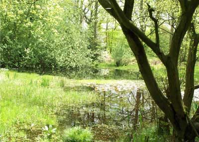
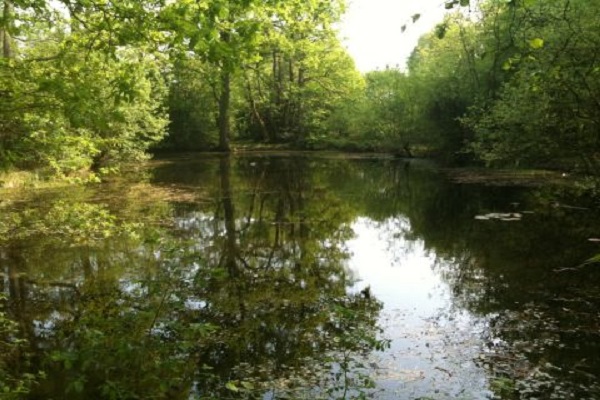
If you have been to the Greenmoor Ponds over the last few months, you will have noticed the drop in the level of water in the Lower Pond. Where has the water gone? Click here to find out about our current investigations and plans
Woodcote Conservation Group is a local group of people dedicated to conserving the natural features in and around the village of Woodcote, located in the Chilterns hills of South Oxfordshire
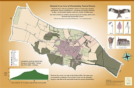
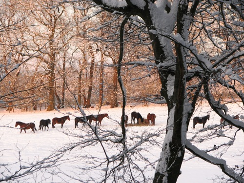
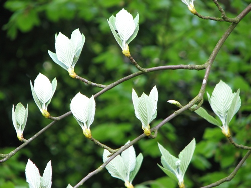
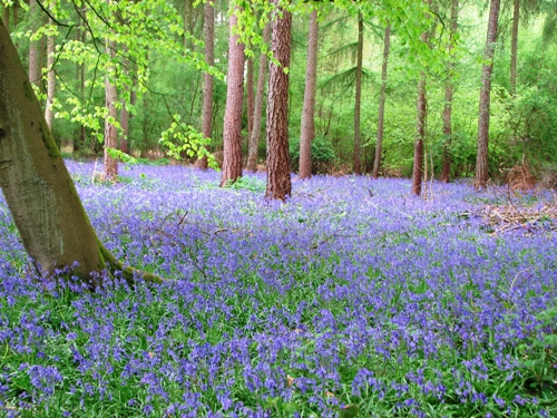
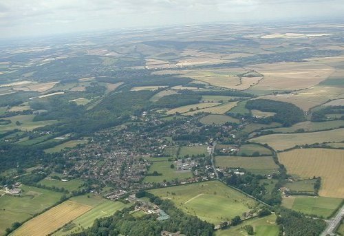
Our village lies some 170 metres above sea-level at the south-western end of the Chiltern Hills, four miles from the point where the River Thames flows through the Goring Gap. Situated in the Chilterns Area of Outstanding Natural Beauty, it is surrounded by beechwoods and the farmland that drops down towards the river valley
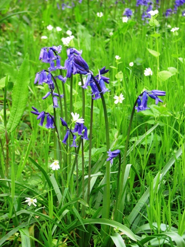
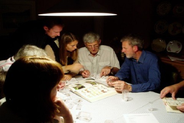
The Woodcote Conservation Group is involved in maintaining and protecting the characteristic features of this environment, and in promoting awareness and appreciation of our local plants, wildlife and habitats. We organise regular working-parties and natural history walks, help out with national and local surveys, and hold public talks on topics of local environmental interest
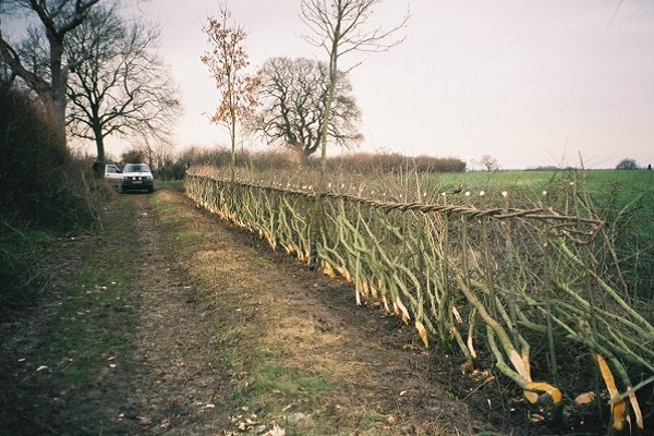
New members are always welcome: whether you want to get involved in pond maintenance, try your hand at some hedgelaying, take part in one of our natural history surveys, or simply show your support for our activities, do join us!
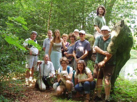
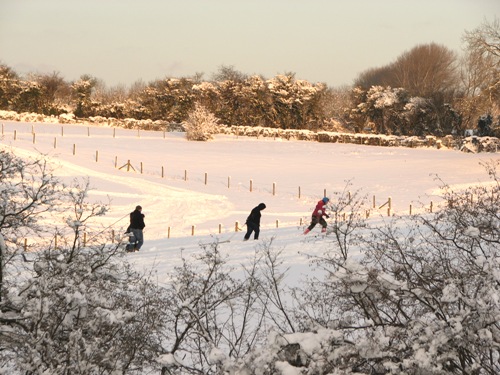
It’s not all hard work!
We also organise social events, for example Members of the Conservation Group on the Summer ‘Walking Party’ to the Black Horse pub in Checkendon
The area we cover
This is a map of the current civil parish of Woodcote, showing land use and other features, including listed buildings. It shows clearly the difference between the wooded upland (to the east) and the open fields of the lower land (to the west)